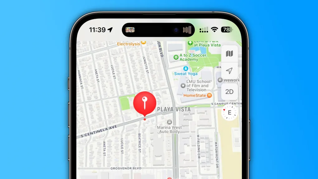
Apple recently rolled out a fresh app called “Maps Surveyor” on Friday, designed for people eager to help make Apple Maps better. This app lets users gather info about their local areas—like snapping pictures—and send it straight to Apple. But it’s not open to everyone just yet.
What’s the Deal with Maps Surveyor?
The app’s description says, “Surveyor assists Apple in upgrading Maps by grabbing details like street sign photos and roadside sights while following a set path.” It’s free to download from the App Store, but it looks like Apple made it for a select group of users.
Once you install it, the app asks you to open another app called Premise. This platform pays people small rewards for doing easy tasks, like answering questions, sharing personal details, or taking pictures of certain spots. In short, it’s a place where users earn cash for helping out.
According to MacRumors, hints in the app’s code show that Apple plans to team up with Premise to invite folks to improve Maps and get rewards in return. Users will need to attach their iPhone to a mount sideways and use Maps Surveyor to snap photos along a planned route.
A Quiet Start
The list of companies that provide data for Apple Maps doesn’t include this new app yet—maybe because it’s brand new. Apple already uses its own cars to drive around cities worldwide, collecting info to polish up Maps. The Surveyor app seems like an extra way to get help from everyday users.
Right now, Maps Surveyor is only available in the United States. If you’ve got an Apple device and want to pitch in, you can still use the “Report an Issue” feature in Apple Maps to share your thoughts with the team. This quiet launch shows Apple’s ongoing effort to make its mapping tool sharper and more reliable, one photo at a time!
