Apps
Google Earth gets new update since 2017 with 3D time-lapse function

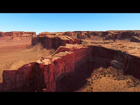
Google Earth recently added a 3D Timelapse function to show how much our planet has changed since 1984. The search giant said that it worked with Carnegie Mellon University’s CREATE laboratory to create the technology behind the new features. Google said that this is the most important new feature of the platform since 2017.
“Through the Timelapse function in Google Earth, 24 million satellite photos from the past 37 years have been compiled into an interactive 4D experience,” said Rebecca Moore, Director of Google Earth, Earth Engine and Outreach. “Now, anyone can watch the time. Unfolding, witnessing the changes of the earth in the past 40 years.”
If you want to view the passage of time in Google Earth, users can go to this link to see how much the earth has changed in the past few decades. Google said that users can choose any place on the planet where users want to see the passage of time. The search giant also created a storytelling platform called voyager, which features interactive guided tours that introduce forest changes and urban expansion.
Join us on Telegram
Google said it has also uploaded more than 800 2D and 3D videos for public use at g.co/TimelapseVideos. Users can download them in MP4 format, or watch all the videos through YouTube playlists. “In the past half-century, our planet has undergone rapid environmental changes – more than any other moment in human history.


Many of us have experienced these changes in our communities, I myself was supposed to last year “One of the thousands of Californians who were evacuated from their homes during the state wildfires,” Moore said, “For others, the effects of climate change feel abstract and remote, like melting ice caps and retreating glaciers.
With Google Earth. Timelapse, we have a clearer understanding of our changing planet, right at our fingertips, it not only shows the problem, but also shows the solution, and the fascinating beauty of nature unfolded for decades phenomenon.”
In order to add animated time-lapse images on Google Earth, the company said it collected more than 24 million satellite images from 1984 to 2020, using data from the US government, the European Union, and NASA. Then, the company merged 20PB of satellite images into a 4.4-megapixel video.

According to Google, this is equivalent to approximately 530,000 4K resolution videos. But don’t worry, Google says that all of these calculations are done in its carbon-neutral, 100% renewable energy-matched data center. Google Earth introduced a time-lapse function to the platform in 2013, displaying 2D images of the earth from 1984 to 2012. The time-lapse feature updated today provides a more immersive experience and the latest data. Google said it plans to update the time-lapse function of Google Earth every year in the next ten years.
(Via)